


Coast and Sierra
California
Yosemite’s granite walls, the redwoods and the cliffs of Big Sur, with San Francisco and Los Angeles at either end. Nine national parks, more than any other state.
Mark the US states you have been to, and see how many of the 50 you have covered.
0/50
states
0%
of the USA
Map colours
Theme
Your colours
for light mode Alabama
 Alaska
 Arizona
 Arkansas
 California
 Colorado
 Connecticut
 Delaware
 Florida
 Georgia
 Hawaii
 Idaho
 Illinois
 Indiana
 Iowa
 Kansas
 Kentucky
 Louisiana
 Maine
 Maryland
 Massachusetts
 Michigan
 Minnesota
 Mississippi
 Missouri
 Montana
 Nebraska
 Nevada
 New Hampshire
 New Jersey
 New Mexico
 New York
 North Carolina
 North Dakota
 Ohio
 Oklahoma
 Oregon
 Pennsylvania
 Rhode Island
 South Carolina
 South Dakota
 Tennessee
 Texas
 Utah
 Vermont
 Virginia
 Washington
 West Virginia
 Wisconsin
 Wyoming
No state found.
0 of 9 earned
Every state you mark brings you one step closer to the next milestone, and marking every state in a region earns that region’s badge.
Every badge earned: all fifty states, all four regions.
0on your bucket list
Travel ideas for all fifty US states to visit: the most visited, the great outdoors and the hidden gems in between. Every state you've already been to drops out, so you only see places that are new to you. Found one you like? Add it to your bucket list.
Coast and Sierra
California
Yosemite’s granite walls, the redwoods and the cliffs of Big Sur, with San Francisco and Los Angeles at either end. Nine national parks, more than any other state.

The Mighty Five
Utah
Five national parks of red rock, Zion, Bryce Canyon, Capitol Reef, Arches and Canyonlands, strung along a single road trip. Arches alone holds more than two thousand natural stone arches.

City and wilderness
New York
Manhattan’s skyline and Central Park, then upstate the Adirondacks, the Finger Lakes and Niagara Falls. The Adirondack Park alone is bigger than Yellowstone, Yosemite and the Grand Canyon combined.

Green Mountains
Vermont
Covered bridges, white-steepled villages and maple farms in the hills, at their best when the leaves turn in early October. About a hundred covered bridges are still standing.

The last frontier
Alaska
Glaciers calving into the sea, grizzlies at the salmon runs and Denali, the highest peak in North America. It is more than twice the size of Texas.

Islands of fire
Hawaii
Volcanoes still building new land on the Big Island, the sea cliffs of Kauai’s Na Pali coast and the surf of Oahu’s North Shore. The only state made up entirely of islands.

Bourbon and bluegrass
Kentucky
Horse farms behind white fences around Lexington, distilleries along the Bourbon Trail and the Kentucky Derby in May. Mammoth Cave is the longest known cave system in the world.

Canyon country
Arizona
The Grand Canyon, a mile deep, plus the red buttes of Monument Valley and the saguaro deserts around Tucson. Most of the state never changes its clocks for daylight saving time.

Geysers and Tetons
Wyoming
Yellowstone, the world’s first national park, with Old Faithful and its herds of bison, and the Tetons rising straight out of the valley to the south. The least populous of all fifty states.

The Ocean State
Rhode Island
Gilded Age mansions along Newport’s Cliff Walk, sailing harbors and some four hundred miles of shoreline in the smallest state. On summer nights Providence lights bonfires on its rivers.

Sun and Everglades
Florida
Beaches on two coasts, the Keys strung along the Overseas Highway and Orlando’s theme parks. The Everglades are the only place on earth where alligators and crocodiles live side by side.

Big Sky Country
Montana
Glacier National Park’s Going-to-the-Sun Road, trout rivers and cattle ranches under an enormous sky. The park’s glaciers are shrinking fast, so go while they are still there.

Neon and desert
Nevada
The Las Vegas Strip, then the red sandstone of Valley of Fire and the ancient bristlecone pines of Great Basin a few hours away. It has more mountain ranges than any other state in the lower 48.

Chesapeake Bay
Maryland
Blue crabs on the waterfront in Annapolis and Baltimore, and wild horses on the beaches of Assateague Island. The Chesapeake is the largest estuary in the United States.

Coast and volcanoes
Oregon
Crater Lake, the deepest lake in the country, a wild coast of sea stacks and the waterfalls of the Columbia River Gorge. Every beach on its coast is public by law.

Hill Country to Big Bend
Texas
Barbecue in the Hill Country, live music in Austin, the Alamo in San Antonio and the desert canyons of Big Bend on the Rio Grande. Only Alaska is bigger.

Gateway to the West
Missouri
The Gateway Arch over the Mississippi in St. Louis, barbecue in Kansas City and the clear spring-fed rivers of the Ozarks. At 630 feet, the arch is the tallest monument in the country.

Chicago and the prairie
Illinois
Chicago’s skyline on Lake Michigan, architecture cruises on the river and deep-dish pizza, then Route 66 setting off across the prairie. The skyscraper was invented here.

Lighthouses and lobster
Maine
A rocky coast of lighthouses and lobster shacks, with Acadia National Park’s Cadillac Mountain above it all. For half the year it is the first place in the country to see the sunrise.

Rock and roll
Ohio
The Rock and Roll Hall of Fame in Cleveland, the waterfalls of Cuyahoga Valley National Park and the sandstone gorges of the Hocking Hills. Seven presidents were born here.

Jazz and bayous
Louisiana
Jazz in the French Quarter of New Orleans, Cajun cooking and swamp tours through the bayous of Acadiana. Mardi Gras takes over the city every February or March.

Land of Enchantment
New Mexico
The white gypsum dunes of White Sands, adobe pueblos lived in for a thousand years and the galleries of Santa Fe. Founded in 1610, Santa Fe is the oldest state capital in the country.

Rocky Mountains
Colorado
Peaks over fourteen thousand feet, ski towns like Aspen and Telluride, and the cliff dwellings of Mesa Verde. No other state has as many summits that high.

Oregon Trail
Nebraska
Chimney Rock and Scotts Bluff, landmarks on the Oregon Trail, and the grassy dunes of the Sandhills. Each spring over half a million sandhill cranes stop on the Platte River.

Badlands and Black Hills
South Dakota
Mount Rushmore and the granite spires of the Black Hills, and the striped buttes of the Badlands, where bison still roam. The Crazy Horse Memorial nearby has been under construction since 1948.

Rainforest and volcanoes
Washington
Seattle on Puget Sound, the glaciers of Mount Rainier and the moss-hung Hoh Rainforest on the Olympic Peninsula. Rainier carries more glacier ice than any other peak in the lower 48.

Old New England
Connecticut
Tall ships at Mystic Seaport, shoreline villages along Long Island Sound and Yale’s campus in New Haven. Inland, the Litchfield Hills turn red and gold every October.

Music and mountains
Tennessee
Country music in Nashville, the blues and Graceland in Memphis, and the Great Smoky Mountains in the east. The Smokies are the most visited national park in the country.

Rivers and peaks
Idaho
The jagged Sawtooth Range, whitewater on the Salmon River and hot springs deep in the backcountry. Shoshone Falls on the Snake River is taller than Niagara.

Tallgrass prairie
Kansas
The rolling Flint Hills, the chalk spires of Monument Rocks and Wild West history in Dodge City. Less than four percent of the continent’s tallgrass prairie survives, and most of it is here.

History and Cape Cod
Massachusetts
The Freedom Trail through revolutionary Boston, whale watching off Cape Cod and the islands of Martha’s Vineyard and Nantucket. The Pilgrims came ashore at Plymouth in 1620.

Almost heaven
West Virginia
Whitewater on the New River, climbing on the sandstone walls of its gorge and forested ridges in every direction. New River Gorge became one of the country’s newest national parks in 2020.

Lowcountry charm
South Carolina
Charleston’s pastel Rainbow Row and cobbled lanes, live oaks hung with Spanish moss and the beaches of Hilton Head. The Lowcountry is home to the Gullah culture of the Sea Islands.

Dunes and racing
Indiana
The Indianapolis 500, the largest single-day sporting event in the world, and fifteen miles of dunes on Lake Michigan. Indiana Dunes became a national park in 2019.

Land of lakes
Minnesota
Canoe routes through the Boundary Waters, the North Shore of Lake Superior and the Twin Cities of Minneapolis and St. Paul. The Mississippi begins here as a stream you can wade across.

Southern charm
Georgia
Savannah’s squares shaded by live oaks, Atlanta’s civil rights history and the barrier islands along the coast. The Appalachian Trail starts here, on Springer Mountain.

Home of the blues
Mississippi
The Delta, where the blues began, the antebellum houses of Natchez and the Natchez Trace, an ancient trail turned 444-mile parkway. Elvis Presley was born in Tupelo.

Mountains to sea
North Carolina
The Blue Ridge Parkway through the mountains, the barrier islands of the Outer Banks and the breweries of Asheville. The Wright brothers made the first powered flight here in 1903.

The Natural State
Arkansas
Bluffs along the Buffalo, the first national river in the country, and the bathhouses of Hot Springs. At Crater of Diamonds, any diamond you find is yours to keep.

Bridges and cornfields
Iowa
The covered bridges of Madison County, the Field of Dreams in Dyersville and the burial mounds on the bluffs of the Mississippi. Every August the Iowa State Fair draws more than a million people.

Liberty and Amish country
Pennsylvania
Independence Hall and the Liberty Bell in Philadelphia, the battlefield at Gettysburg and Amish farmland around Lancaster. Frank Lloyd Wright’s Fallingwater hangs over a waterfall in the woods.

White Mountains
New Hampshire
Autumn leaves on the Kancamagus Highway, hiking in the White Mountains and lakes like Winnipesaukee. In 1934 Mount Washington recorded a 231 mph gust, for decades the fastest on earth.

Ridges and history
Virginia
Skyline Drive along the Blue Ridge in Shenandoah, colonial Williamsburg and Jamestown, and Thomas Jefferson’s Monticello. Eight presidents were born here, more than in any other state.

Route 66 heartland
Oklahoma
More miles of the original Route 66 than any other state, bison in the Wichita Mountains and cowboy heritage in Oklahoma City. Thirty-nine tribal nations have their headquarters here.

Badlands and prairie
North Dakota
The painted badlands of Theodore Roosevelt National Park, where bison and wild horses roam, and endless prairie. Roosevelt said he would never have been president without his years here.

Shore and boardwalks
New Jersey
Jersey Shore boardwalks, Victorian Cape May and the Pine Barrens, a million acres of forest in the most densely populated state. Atlantic City built the country’s first boardwalk in 1870.

Civil rights trail
Alabama
Civil rights landmarks in Montgomery, Selma and Birmingham, the white sand of Gulf Shores and Little River Canyon. The rockets that took astronauts to the moon were designed in Huntsville.

Great Lakes
Michigan
The sandstone cliffs of Pictured Rocks, streaked in every shade of copper and green, the dunes of Sleeping Bear and car-free Mackinac Island. It touches four of the five Great Lakes.

Lakes and sea caves
Wisconsin
The sea caves of the Apostle Islands on Lake Superior, Door County’s orchards and lighthouses, and a supper club in every small town. In a cold winter you can walk to the caves on the ice.

The First State
Delaware
Quiet beaches and boardwalks at Rehoboth and Lewes, du Pont mansions and gardens in the Brandywine Valley, and no sales tax. It was the first state to ratify the Constitution.
You have been to all fifty states, the famous ones and the quiet ones alike. Time to start on the world map.
You have been to every state in this list. Try another one.
A free interactive map of all 50 states for the ones you have been to: no account, no app, nothing uploaded. Here is what sits behind it.
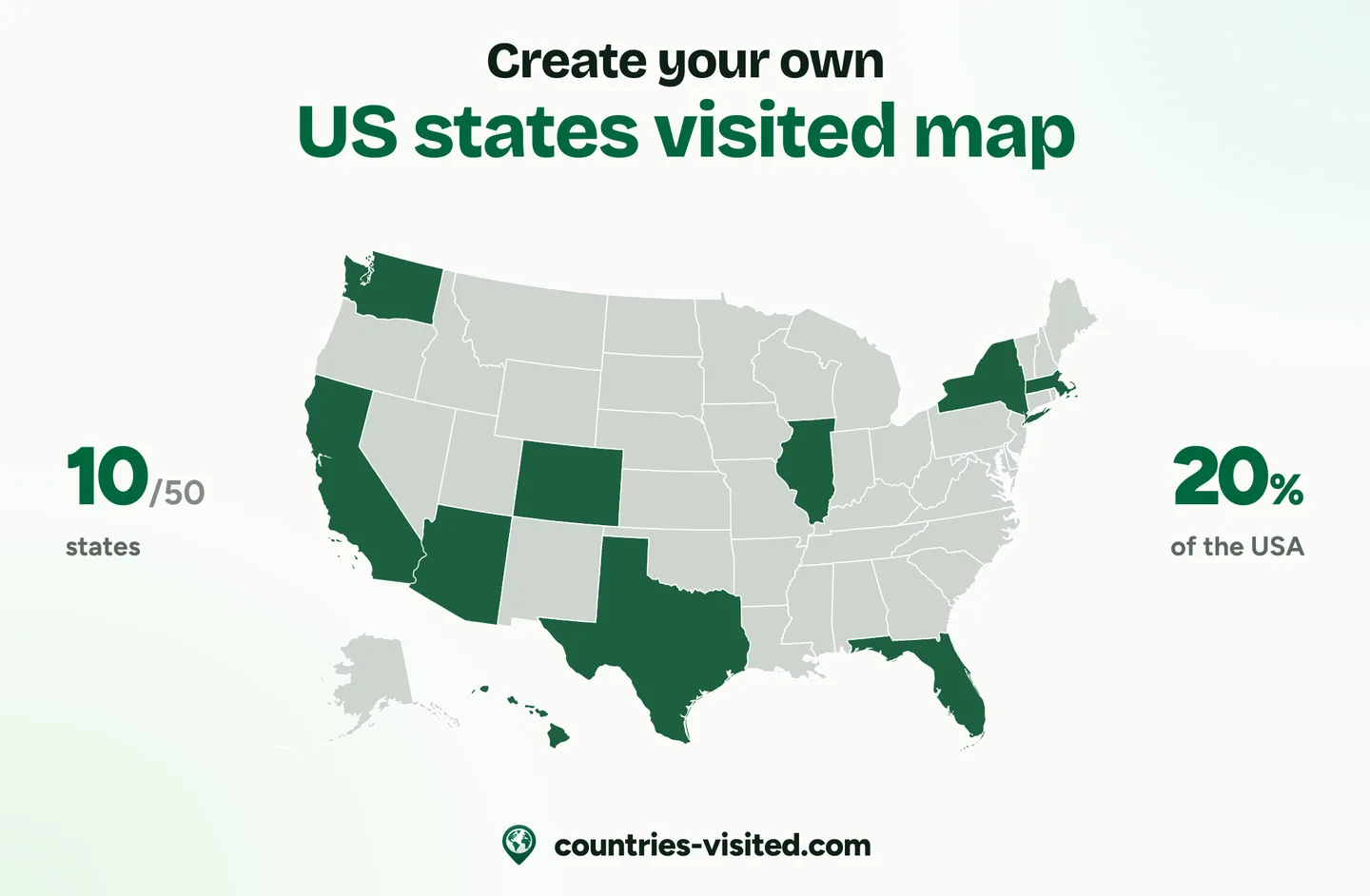
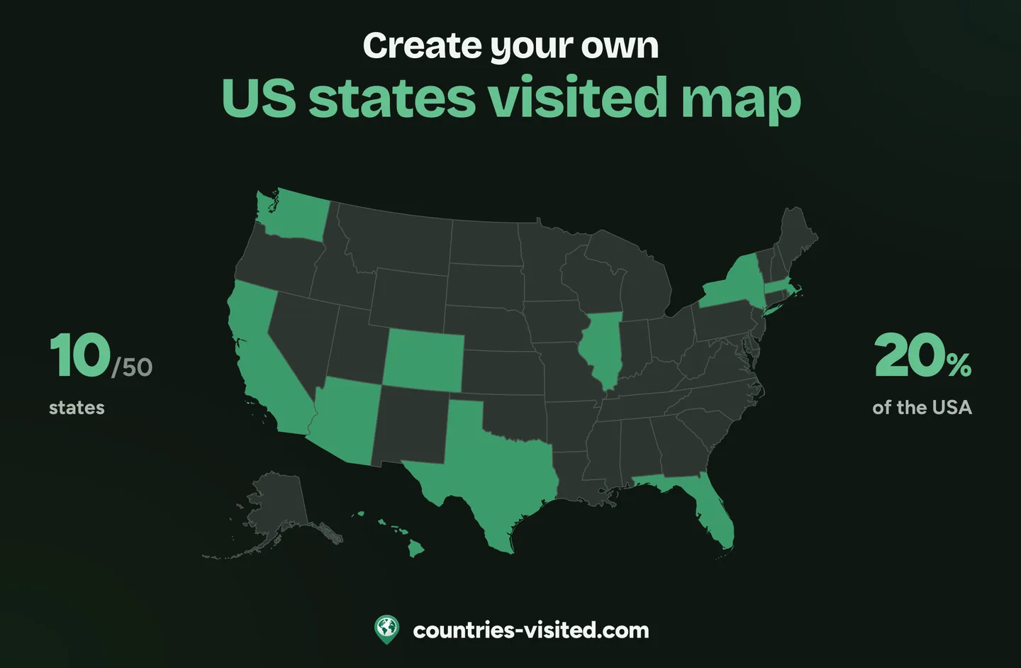
Click any state and it fills in at once, Alaska and Hawaii included. Every state carries its two-letter code, so Rhode Island is as easy to find as Texas, and on a phone “Taller map” gives you room to swipe from coast to coast.
A live count out of 50, your share of the country and a progress ring grow with every state you mark. Filter the list by Northeast, Midwest, South or West to see which states each region still has left.
All fifty states in one list, each with its flag and a search. Mark where you have been, lived or want to go, and “Which state to visit next” suggests the most visited, the great outdoors and hidden gems you have not seen yet.
Pick one of four colour themes or set your own colours for land, visited, lived, bucket list and borders. The image of your states map that you download comes in the same colours.
Five milestones from First Stop to Star-Spangled at all fifty, plus a badge for each of the four regions you complete, from the Ivy League to the Wild West. The ones still ahead show what they take.
Your states are written into the link itself, so one URL shows your whole map. Send it to the friends from your last road trip, post it, or save your map as an image ready to share.
Short answers to the questions people ask most.
Click every state you have visited on the map, or tick it in the list, and the counter above the map adds them up as you go. It counts out of 50, and the ring beside it shows your share of the country.
Fifty: the 48 contiguous states plus Alaska and Hawaii, and every one of them is on this map. Washington, DC and the territories are not states, so the count stops at fifty.
No. The District of Columbia is a federal district rather than a state, so it is not on the map or in the list. The count runs to fifty, and fifty means you have been to every state.
Because framing all fifty at one true scale would put most of the map in the empty North Pacific and leave the lower 48 too small to click comfortably. They are still part of the same map, just moved into the corner and drawn at their own scale, the way every US atlas shows them.
They are the postal abbreviations, such as CA for California and NY for New York. Every state carries one. The nine small north-eastern states have theirs set just offshore, because the state itself is too narrow to hold it. Hover any of them to read the full name.
Not on this map, which covers only the fifty states. Puerto Rico, Guam and the US Virgin Islands appear on the world map instead, as their own territories.