


Rockies and badlands
Alberta
Turquoise Moraine Lake and the peaks of Banff, Canada’s first national park, founded in 1885. Out east, Dinosaur Provincial Park holds one of the richest fossil beds on Earth.
Mark the provinces and territories you have been to, and see how many of the 13 you have covered.
0/13
provinces & territories
0%
of Canada
Map colours
Theme
Your colours
for light mode Alberta
 British Columbia
 Manitoba
 New Brunswick
 Newfoundland and Labrador
 Northwest Territories
 Nova Scotia
 Nunavut
 Ontario
 Prince Edward Island
 Quebec
 Saskatchewan
 Yukon
No province or territory found.
0 of 9 earned
Every province or territory you mark brings you one step closer to the next milestone, and marking everything in a region earns that region’s badge.
Every badge earned: all thirteen provinces and territories, all four regions.
0on your bucket list
Travel ideas for all ten provinces and three territories: the most visited, the great outdoors and the hidden gems in between. Every one you've already been to drops out, so you only see places that are new to you. Found one you like? Add it to your bucket list.
Rockies and badlands
Alberta
Turquoise Moraine Lake and the peaks of Banff, Canada’s first national park, founded in 1885. Out east, Dinosaur Provincial Park holds one of the richest fossil beds on Earth.

Our land
Nunavut
Nunavut means “our land” in Inuktitut, and no road links its communities to each other or to the south. Mount Thor, in Auyuittuq, has the world’s greatest vertical drop, about 1,250 metres.

Mountains and sea
British Columbia
Vancouver between the Pacific and the Coast Mountains, the emerald water of Yoho inland. The Great Bear Rainforest is home to the spirit bear, a black bear born with a white coat.

Red cliffs
Prince Edward Island
Red sandstone cliffs, potato fields and the farmhouse that inspired Anne of Green Gables. Canada’s smallest province is tied to the mainland by the 12.9 km Confederation Bridge.

Falls and auroras
Northwest Territories
Virginia Falls in the Nahanni drops about 96 metres, nearly twice the height of Niagara. Yellowknife, on Great Slave Lake, is one of the best places on Earth to see the northern lights.

French North America
Quebec
Old Quebec’s ramparts and the Château Frontenac, Montreal’s festivals and the boreal north. Quebec City is the only fortified city north of Mexico whose walls still stand.

Lighthouses and lobster
Nova Scotia
The granite and lighthouse of Peggy’s Cove, the Cabot Trail round Cape Breton and lobster on every menu. Nowhere in the province is more than about 67 km from the sea.

Polar bear capital
Manitoba
Every autumn polar bears gather at Churchill on Hudson Bay, waiting for the sea to freeze. In summer the same town watches thousands of belugas swim up the Churchill River.

Falls and skylines
Ontario
Toronto and the CN Tower, Parliament Hill in Ottawa and the roar of Niagara Falls. Canada’s most visited province, with some 250,000 lakes beyond the cities.

World’s highest tides
New Brunswick
The Bay of Fundy rises and falls by as much as 16 metres, and at low tide you can walk the sea floor around the Hopewell Rocks. Canada’s only officially bilingual province.

Gold rush wilderness
Yukon
Dawson City still looks as if the Klondike gold rush never ended. Kluane holds Mount Logan, at 5,959 metres the highest peak in Canada.

Big sky country
Saskatchewan
Bison roam the prairie again in Grasslands National Park, under some of the darkest skies in Canada. In the far north, the Athabasca Sand Dunes are the largest active dunes in the country.

Fjords and icebergs
Newfoundland and Labrador
Gros Morne’s fjords, icebergs drifting past each spring and Cape Spear, Canada’s easternmost point. At L’Anse aux Meadows, Vikings landed about a thousand years ago.
You have been to all thirteen, the famous ones and the quiet ones alike. Time to start on the world map.
You have been everywhere in this list. Try another one.
A free interactive map of all ten provinces and three territories, for the ones you have been to: no account, no app, nothing uploaded. Here is what sits behind it.
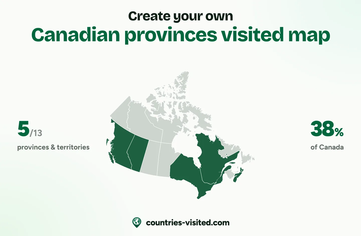
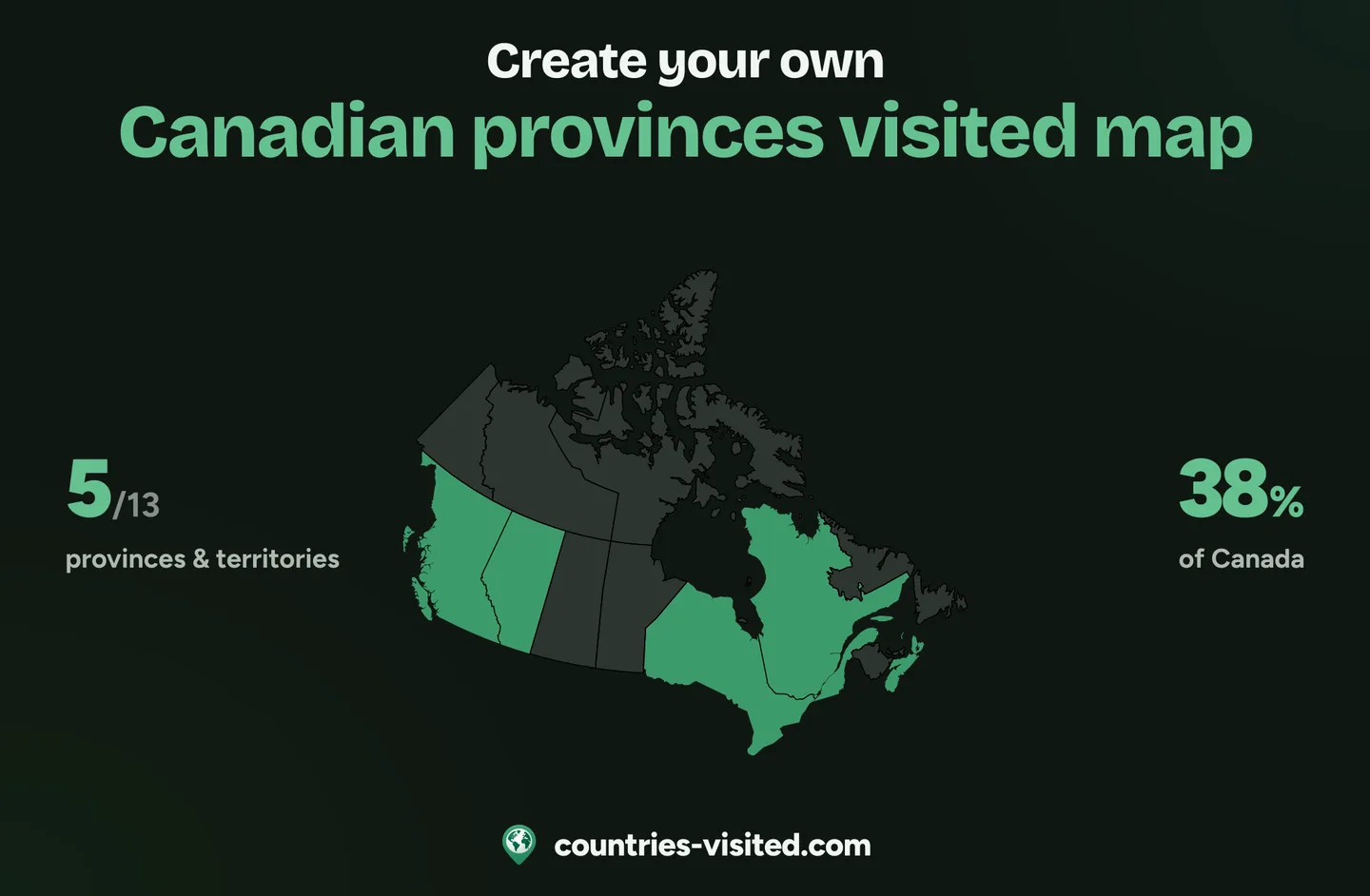
Click any province or territory and it fills in at once, from the Yukon to Newfoundland and Labrador. Each carries its two-letter postal code, so Prince Edward Island is as easy to find as Quebec, and on a phone “Taller map” gives you room to swipe from coast to coast.
A live count out of 13, your share of the country and a progress ring grow with every province or territory you mark. Filter the list by Atlantic, Central, Western or Northern Canada to see what each region still has left.
All thirteen in one list, each with its flag and a search. Mark where you have been, lived or want to go, and “Which province to visit next” suggests the most visited, the great outdoors and hidden gems you have not seen yet.
Pick one of four colour themes or set your own colours for land, visited, lived, bucket list and borders. The image of your Canada map that you download comes in the same colours.
Five milestones from Bienvenue to Coast to Coast to Coast at all thirteen, plus a badge for each of the four regions you complete, from East Coaster to True North. The ones still ahead show what they take.
Your provinces and territories are written into the link itself, so one URL shows your whole map. Send it to the friends from your last road trip, post it, or save your map as an image ready to share.
Short answers to the questions people ask most.
Click every province or territory you have visited on the map, or tick it in the list, and the counter above the map adds them up as you go. It counts out of 13, and the ring beside it shows your share of the country.
Thirteen: ten provinces and three territories, and every one of them is on this map. The provinces are Alberta, British Columbia, Manitoba, New Brunswick, Newfoundland and Labrador, Nova Scotia, Ontario, Prince Edward Island, Quebec and Saskatchewan. The territories are the Northwest Territories, Nunavut and the Yukon.
Provinces hold their powers directly under Canada’s Constitution, while territories exercise powers the federal Parliament delegates to them. On this map they count the same: a visit to the Yukon moves the counter just as a visit to Ontario does.
Nunavut is the largest of the thirteen, at about 2.1 million km², a fifth of the country. Quebec is the largest province, at about 1.5 million km². Prince Edward Island is the smallest of all, at about 5,700 km².
Ontario, followed by British Columbia and Quebec: Statistics Canada’s counts of visitors from abroad put those three at the top. The cards under the badges mix them with the great outdoors and the hidden gems, so you can see where to go next.
They are the abbreviations Canada Post uses, such as ON for Ontario and QC for Quebec. Every province and territory carries one. Prince Edward Island’s stands just offshore, because the island is too narrow to hold it. Hover any of them to read the full name.
Because it is drawn in a Lambert conformal conic projection, the one Statistics Canada uses for its own maps. Most web maps use Mercator, which stretches land towards the pole until the Arctic islands dwarf the provinces south of them. The conic keeps shapes and proportions close to true, which is why the 49th parallel bends instead of running straight.
No. This map keeps its own list, so marking Ontario here does not mark Canada on the world map, or the other way round. There, Canada counts once, as one of 250 countries and territories.
It is free, and there is no account to make. Nothing is uploaded: your marks stay in your own browser, and the share button gives you a link that carries your whole map.