


Alps and castles
Bavaria
Neuschwanstein on its crag above the Alpine foothills, Munich’s beer gardens and the walled towns along the Romantic Road. The Zugspitze, at 2,962 metres, is the highest point in Germany.
Mark the German states you have been to, and see how many of the 16 Bundesländer you have covered.
0/16
states
0%
of Germany
Map colours
Theme
Your colours
for light mode Baden-Württemberg
 Bavaria
 Berlin
 Brandenburg
 Bremen
 Hamburg
 Hesse
 Lower Saxony
 Mecklenburg-Western Pomerania
 North Rhine-Westphalia
 Rhineland-Palatinate
 Saarland
 Saxony
 Saxony-Anhalt
 Schleswig-Holstein
 Thuringia
No state found.
0 of 9 earned
Every state you mark brings you one step closer to the next milestone, and marking every state in a region earns that region’s badge.
Every badge earned: all sixteen states, all four regions.
0on your bucket list
Travel ideas for all sixteen German states: the classics, the great outdoors and the hidden gems in between, each one ranked among the most visited German states. Every state you've already been to drops out, so you only see places that are new to you. Found one you like? Add it to your bucket list.
Alps and castles
Bavaria
Neuschwanstein on its crag above the Alpine foothills, Munich’s beer gardens and the walled towns along the Romantic Road. The Zugspitze, at 2,962 metres, is the highest point in Germany.

Chalk cliffs and lakes
Mecklenburg-Western Pomerania
The white chalk cliffs of Rügen above the Baltic, long sandy beaches and the brick Gothic of Stralsund and Wismar. Inland lies the Müritz, the largest lake entirely within Germany.

Capital of reinvention
Berlin
The Brandenburg Gate, the five museums of Museum Island and a nightlife that starts late and ends later. The East Side Gallery, 1.3 km of painted concrete, is the longest stretch of the Wall still standing.

Castle and classics
Thuringia
The Wartburg above Eisenach, where Luther translated the New Testament, and Weimar, the town of Goethe, Schiller and the Bauhaus. The Rennsteig runs 170 km along the ridge of the Thuringian Forest.

Between two seas
Schleswig-Holstein
Sylt’s dunes and thatched houses on the North Sea, the fjords and beaches of the Baltic and Lübeck’s brick Holstentor in between. It is the only German state with a coast on both seas.

Gateway to the world
Hamburg
The red-brick warehouses of the Speicherstadt, the glass wave of the Elbphilharmonie above them and one of Europe’s busiest ports. With some 2,500 bridges, Hamburg has more than Venice and Amsterdam together.

Timber frames and Luther
Saxony-Anhalt
Quedlinburg’s more than two thousand timber-framed houses below the Harz, and Wittenberg, where Luther posted his theses. The Brocken, at 1,141 metres, is the highest peak in northern Germany.

Black Forest and lake
Baden-Württemberg
The dark hills of the Black Forest, Heidelberg’s castle ruin above the Neckar and Lake Constance facing the Alps. The Danube, on its way to the Black Sea, begins here in Donaueschingen.

Baroque and sandstone
Saxony
The stone dome of Dresden’s Frauenkirche above the baroque old town, and upstream the Bastei bridge among the rock towers of Saxon Switzerland, 194 metres above the Elbe. Europe’s first porcelain was made in Meissen, in 1710.

Cathedral and coal
North Rhine-Westphalia
Cologne Cathedral’s twin spires, 157 metres above the Rhine, and the Ruhr’s mines and steelworks turned into museums and parks. The cathedral took 632 years to finish, from 1248 to 1880.

The Saar loop
Saarland
The Saar doubles back on itself in a wooded horseshoe at Mettlach, best seen from the treetop walk above it. The Völklingen Ironworks, a complete steel plant from the industrial age, is a World Heritage Site.

Rivers, castles, wine
Rhineland-Palatinate
Burg Eltz in its wooded valley, the castle-lined gorge of the Middle Rhine past the Lorelei and the tight loops of the Moselle. About two thirds of all German wine grows here.

Skyline and fairy tales
Hesse
Frankfurt’s bank towers on the Main, the vineyards of the Rheingau and half-timbered towns in between. The Brothers Grimm were born in Hanau, where the German Fairy Tale Route begins.

Hanseatic and small
Bremen
The Gothic town hall and the Roland statue on the market square, and a bronze donkey, dog, cat and cockerel beside them: the Town Musicians of Bremen. Germany’s smallest state is two cities, Bremen and Bremerhaven.

Palaces and waterways
Brandenburg
Sanssouci, Frederick the Great’s summer palace above its vineyard terraces in Potsdam, and around it some three thousand lakes. In the Spreewald the post is still delivered by punt.

Heath and tidal flats
Lower Saxony
The Lüneburg Heath in purple bloom each August, the East Frisian Islands and the half-timbered streets of Celle and Goslar. At low tide you can walk across the Wadden Sea floor to some of the islands.
You have been to all sixteen states, the famous ones and the quiet ones alike. Time to start on the world map.
You have been to every state in this list. Try another one.
A free interactive map of all 16 German states for the ones you have been to: no account, no app, nothing uploaded. Here is what sits behind it.
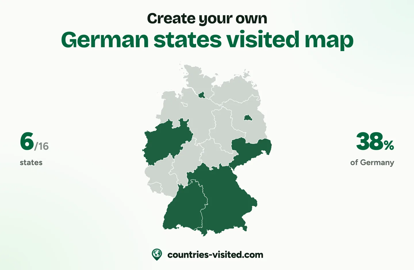
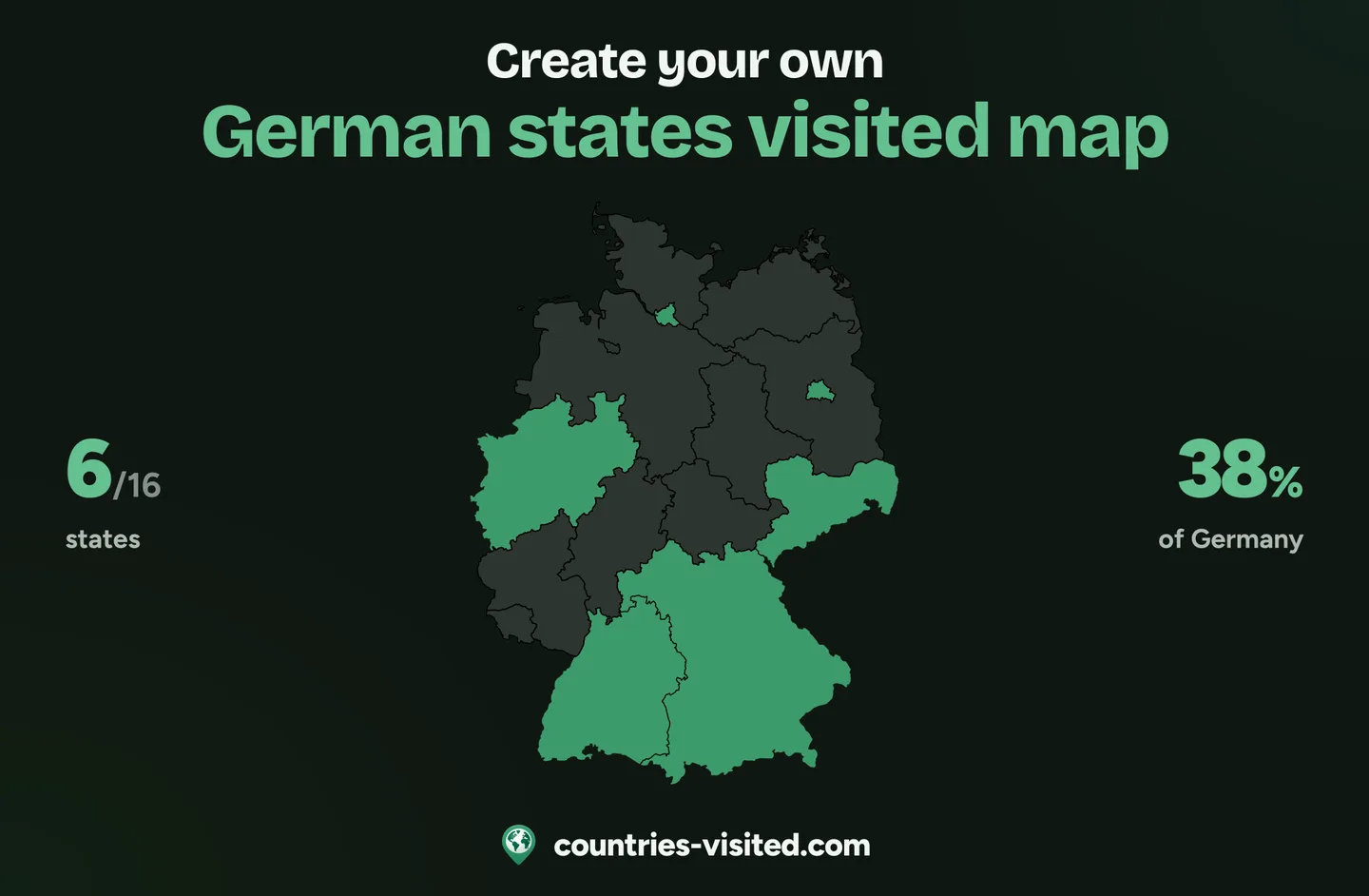
Click any state and it fills in at once, from Schleswig-Holstein on two seas to Bavaria in the Alps. Each carries its two-letter code, and the three city states, Berlin, Hamburg and Bremen, are on the map as states of their own.
A live count out of 16, your share of the country and a progress ring grow with every state you mark. Filter the list by Northern, Eastern, Western or Southern Germany to see what each region still has left.
All sixteen in one list, each with its flag and a search that knows the German names too. Mark where you have been, lived or want to go, and “Which German state to visit next” suggests the classics, the great outdoors and hidden gems you have not seen yet.
Pick one of four colour themes or set your own colours for land, visited, lived, bucket list and borders. The image of your Germany map that you download comes in the same colours.
Five milestones from Guten Tag to Coast to Alps at all sixteen, plus a badge for each of the four regions you complete, from Northern Light to Alps and Black Forest. The ones still ahead show what they take.
Your states are written into the link itself, so one URL shows your whole map. Send it to the friends from your last trip, post it, or save your map as an image ready to share.
Short answers to the questions people ask most.
Click every state you have visited on the map, or tick it in the list, and the counter above the map adds them up as you go. It counts out of 16, and the ring beside it shows your share of the country.
Sixteen, and every one of them is on this map. Thirteen are area states: Baden-Württemberg, Bavaria, Brandenburg, Hesse, Lower Saxony, Mecklenburg-Western Pomerania, North Rhine-Westphalia, Rhineland-Palatinate, Saarland, Saxony, Saxony-Anhalt, Schleswig-Holstein and Thuringia. Three are city states: Berlin, Hamburg and Bremen.
It is the German word for a federal state. Germany is a federal republic, and each of its sixteen states has its own constitution, parliament and government. Five of them, Brandenburg, Mecklenburg-Western Pomerania, Saxony, Saxony-Anhalt and Thuringia, joined at reunification in 1990.
Bavaria is the largest, at about 70,500 km², roughly a fifth of the country. Bremen is the smallest, at about 420 km². By population North Rhine-Westphalia comes first, with around 18 million people.
Bavaria, by a wide margin: its hotels, guesthouses and campsites counted 102.9 million overnight stays in 2025, ahead of Baden-Württemberg and North Rhine-Westphalia. The ranking of the most visited German states has all sixteen.
They are the states’ ISO codes, such as BY for Bavaria (Bayern) and NW for North Rhine-Westphalia. HH and HB stand for the Hanseatic cities of Hamburg and Bremen. Hover any of them to read the full name.
Because the state of Bremen is two cities: Bremen itself and the port of Bremerhaven, about 60 km downriver on the North Sea. Lower Saxony surrounds both. Berlin is an enclave as well, with Brandenburg all around it.
No. This map keeps its own list, so marking Bavaria here does not mark Germany on the world map, or the other way round. There, Germany counts once, as one of 250 countries and territories.
It is free, and there is no account to make. Nothing is uploaded: your marks stay in your own browser, and the share button gives you a link that carries your whole map.